
The Vedder River has historically been unstable and several major floods have inundated farmland bordering the river and caused severe damage to private property. A major flood in December 1975, caused significant damage in the community of Yarrow and the Greendale area (within Chilliwack), and a portion of Sumas Prairie (in Abbotsford). The flood caused infilling of almost the entire river channel downstream of the Vedder Crossing to the canal. The need for improved river management, including dyking and sediment removal along the Vedder River, became apparent.
Following the 1975 flood, the BC Ministry of Environment through the Fraser River Joint Advisory Board and with federal/provincial funding implemented a system of flood control works including setback dykes, groynes and channel maintenance. The Lower Mainland Regional Water manager initiated the plan in 1980 and the 1983 plan is the result of this effort. The 1983 plan included drawing up Gravel Removal Guidelines to maintain an overall floodway capacity equivalent to the 1 in 200 year flow frequency.
The Vedder River Management Area Committee (VRMAC) in consultation with the Vedder River Technical Committee (VRTC) has planned and managed gravel removals for flood control purposes annually from 1990 to 1997 and biennially from 1998 to the present. Gravel removals were also undertaken prior to 1990 by various entities, but those removals were not coordinated by VRMAC. The VRMAC oversees the plan's ongoing implementation and is made up of representatives from the City of Chilliwack, City of Abbotsford, BC Ministry of Forests, Lands and Natural Resource Operations (MFLNRO), and the federal Department of Fisheries and Oceans. It also includes stakeholders such as the Fraser Valley Regional District, First Nations and fishing groups. A technical committee develops and recommends to the VRMAC a sediment removal plan every second year on even years-timing that was established to avoid affecting spawning pink salmon.
Sediment Removal:
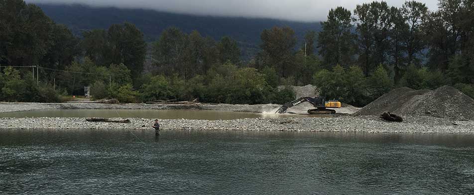
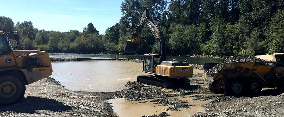
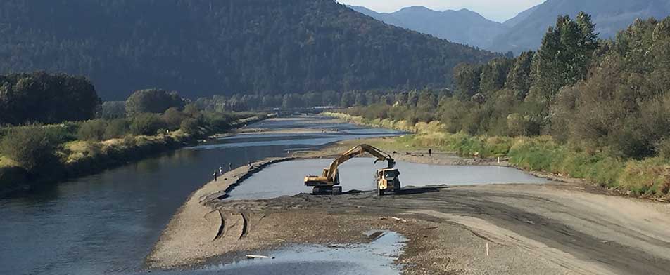
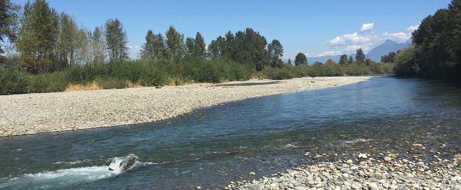
Sediment from the upstream Chilliwack River Basin is carried with the flow into the Vedder River and Canal. On average, approximately 50,000 cubic metres of sediment are deposited every year. The sediment reduces the channel's capacity to convey the flood event flow and thereby increases flood threat to surrounding communities. Sediment removal is necessary to maintain the provincially recommended level of flood protection, and removal sites are selected to preserve sufficient capacity along the dyking system during the flood event. The sediment removal program, jointly funded by the cities of Chilliwack and Abbotsford and the Province of BC Forests, Lands and Natural Resource Operations is carried out in two phases: (1) planning, and (2) removal and assessment. The planning phase begins with a survey. More than 70 permanently established cross-sections along the system are surveyed every second winter to calculate changes in sediment volume over the preceding two years. The collected data are run through a hydraulic model to calculate the water surface profile and to evaluate the change in dyke freeboard. Sites for sediment removal are then selected, in consultation with a registered professional biologist, to improve the channel's conveyance capacity where it is most required. Other considerations include presence of vegetation, proximity to sensitive and valuable habitat, road or other access for machinery, and potential effects of sediment removal on existing channel features and configurations. During removal, a registered professional biologist monitors the activities. In addition, one year after removal, a biological assessment by a registered professional biologist is conducted to determine impacts on habitat along the river and canal.